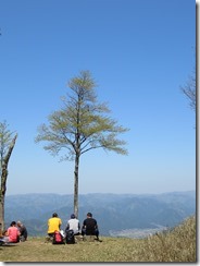
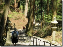
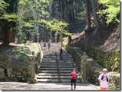
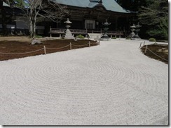
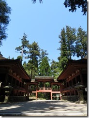
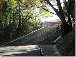
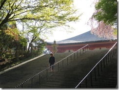
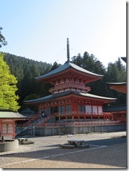
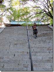
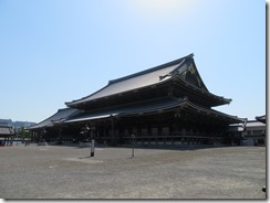
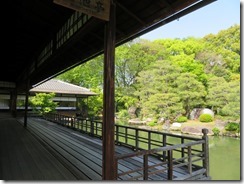
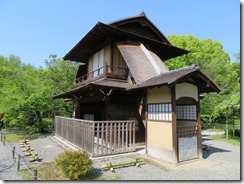
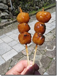
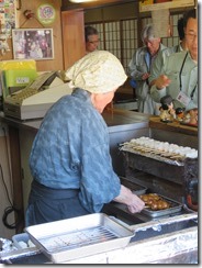
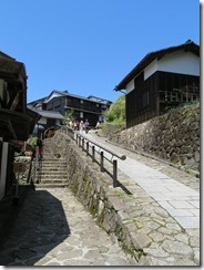
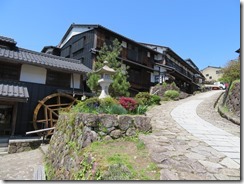
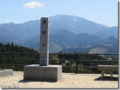
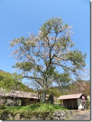
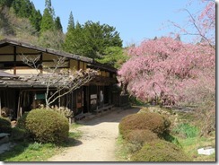
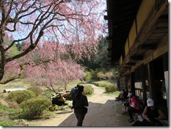
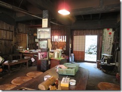
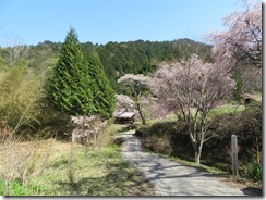
Day 9–Kushiyaki

In this ryokan, we seem to be wearing so many pairs of shoes. I count… five pairs? First there’s the shoes we came in wearing, then we changed to slippers to wear upstairs to our room (though bare feet in the room itself), then there’s a pair of slippers for the toilet, then there’s the slippers we wear in the “outside” parts of the house (i.e. the parts we’d take our outside shoes, except we wear slippers so we don’t have to be putting on our outside shoes all the time), then there’s another pair of slippers we wear between the end of the “outside” hallway and the bath room. Whew.

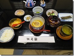
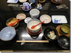
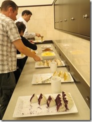
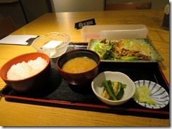
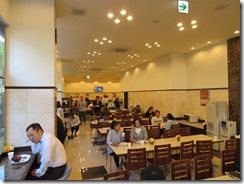
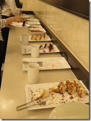
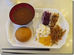
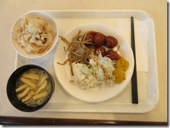
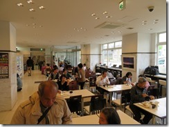
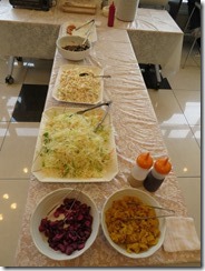
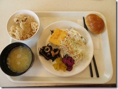
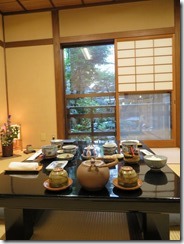
So, today we started with a Japanese style breakfast in the ryokan dining room. Still quite an impressive spread, though for breakfast it’s all laid out in one go, rather than coming one plate at a time. Many similar things to what we’d get at Toyoko Inn – like rice (of course), pickles, scrambled eggs, a grated daikon dish, and miso soup (though this miso had clams in it) – then there were new things, like dried fish, and a bowl of soup containing minced beef and mushroom wrapped in a fish cake. Certainly a difference from just a bowl of cereal and milk, even if I do have three different cereals at once normally.

IMG_0649 (Large)IMG_0666 (Large)IMG_0651 (Large)IMG_0663 (Large)

After breakfast, we headed out for an activity I dug out and dusted off from my last trip’s itinerary. The day I intended to spend a half-day on Mount Kurama, but instead spent a whole day there, left the second half of my plans floating. So this morning, we headed down to the nearest Keihan Railway station, bought a day-pass combo ticket, and headed off to Mount Hiei, in Kyoto’s north-east, and Enryaku-ji, the monastery/temple on top.

IMG_0687 (Large)

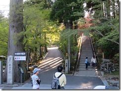
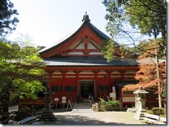
Enryaku-ji is the head temple of the Tendai school of Buddhism. It’s a huge complex with a large number of different halls and temples spread into three areas a few kilometres apart. The temple was established in the year 807, and was extremely powerful in the Buddhist world – I’ve noticed it frequently getting mentions on the Wikipedia articles for other temples. For example, the founders of Higashi Hongan-ji (which we visited yesterday) and Yama-dera (which I visited last trip) were students here. In the past, they also started to get involved in politics, but they paid the price for that when Oda Nobunaga, seeking to remove potential rivals, attacked the temple in 1571, destroying almost every building. Quite a few of the buildings extant today were “restored” by transporting them from other temples. The temple caused a huge amount of controversy in 2006 when it hosted a big event for the largest Yakuza organisation in Japan, which lead (after a nationwide scandal, and protests from the Shiga Prefectural Police and the Japan Buddhist Temple Association) to the temple’s entire board of directors resigning.

In any case, it was actually a pretty good value ticket, covering Keihan travel (and related lines) to and from the mountain, the cable cars on both sides, the ropeway on the west side, buses from area to area, entry to the temple itself, and even offered a host of discounts to various other places (none of which we actually wound up using, though).

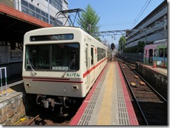
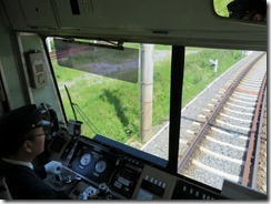
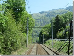
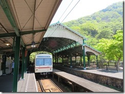
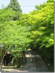
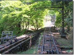
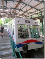
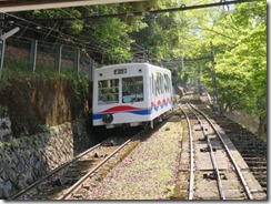
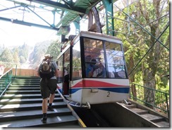
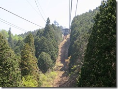
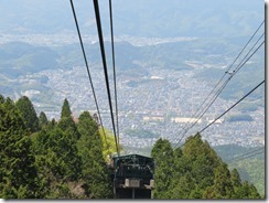
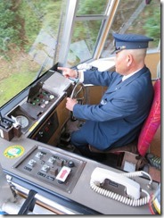
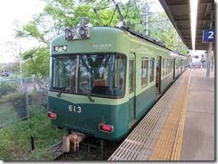
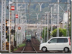
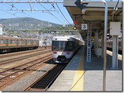
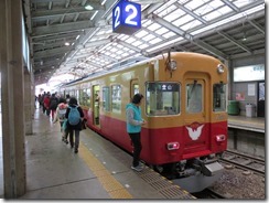
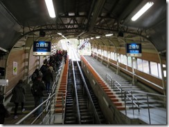
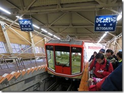
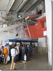
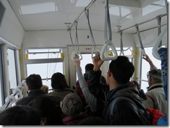
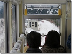
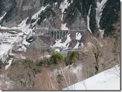
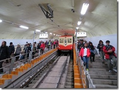
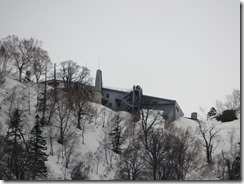
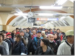
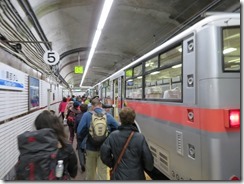
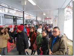
So, first to get there we caught the Keihan line from Shichijo, to Demachiyanagi, then transfer to the Eizan line to Yase-Hieisanguchi. There, after a short walk across a bridge and down a lovely green street, we boarded the Eizan Cable line, which has a vertical separation of 561 metres, the greatest in the country. At the top of that, we transferred to the Eizan Ropeway to get us even higher.

IMG_0707 (Large)IMG_0714 (Large)IMG_0721 (Large)IMG_0726 (Large)IMG_0742 (Large)IMG_0751 (Large)IMG_0747 (Large)IMG_0761 (Large)IMG_0785 (Large)IMG_0789 (Large)IMG_0792 (Large)

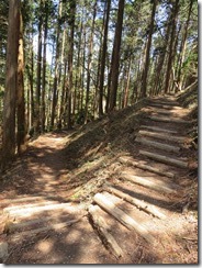
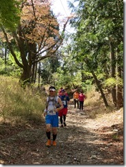
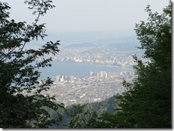
At the top of the ropeway, there was a spectacular view over northern Kyoto. From there, we walked to Saito, one of the three sections of Enryaku-ji (means “western pagoda”). On the way, we discovered there seems to be some sort of trail running race on today – supposedly the course is 33km long. As some point during the walk, we crossed from Kyoto Prefecture into Shiga Prefecture, though I didn’t notice any kind of marking at the time.

IMG_0822 (Large)IMG_0827 (Large)IMG_0839 (Large)IMG_0861 (Large)IMG_0884 (Large)

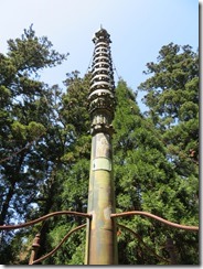
We soon arrived at Saito, the second of the three main areas, and loitered there for a while admiring the temple buildings there. We were a little bit amused by a stupa which strongly resembled either a rocket ship or a tesla coil.

IMG_0891 (Large)IMG_0896 (Large)IMG_0934 (Large)IMG_0910 (Large)IMG_0962 (Large)IMG_0983 (Large)IMG_0952 (Large)IMG_1000 (Large)

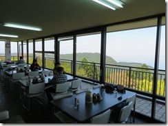
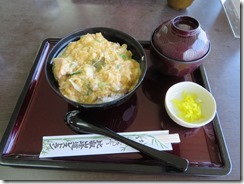
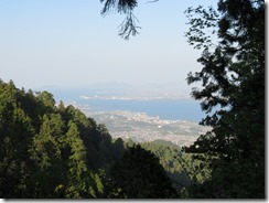
Once we’d seen all there was to see there, we decided to head to the bus stop so that we could get to the third and more distant area more easily, but when we discovered that the bus stop was also at a restaurant – one with a spectacular view over Lake Biwa on the other side of the mountain – we decided to stop for lunch. I had some kind of special version of oyakodon, while James had some kind of special katsudon, but I haven’t quite managed to work out what made them special. The restaurant’s balcony had a much better view than the adjacent lookout, but sadly it didn’t seem like we could reach it.

IMG_1035 (Large)IMG_1038 (Large)IMG_1047 (Large)IMG_1052 (Large)

(Sadly, we just discovered now that one of the discounts our combo tickets offered us was at this restaurant. Too late to use it now.)

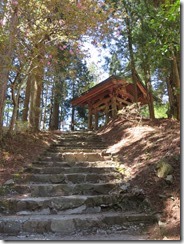
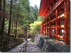
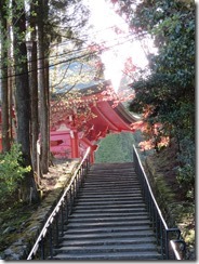
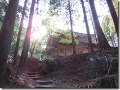
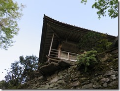
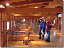
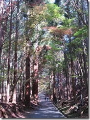
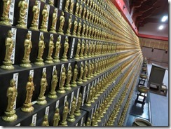
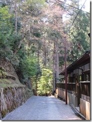
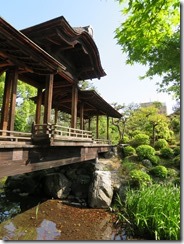
Lunch done, we headed to the third area, Yokawa (meaning something like “by the river”). Since it’s widely separated from the other two areas, it was a little less populous, and extremely serene. It includes Yokawa Chudo, a hall built up on stilts, which was full of little Buddha statues on racks. While Saido had one goshuin available, Yokawa has three.

IMG_1096 (Large)IMG_1098 (Large)IMG_1111 (Large)IMG_1104 (Large)IMG_1140 (Large)IMG_1159 (Large)

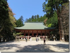
Yokawa seen, we headed back to the first of the three areas, Todo (eastern pagoda). Assuming I’ve read the map right, Todo has no fewer than seven goshuin (though it’s possible a couple of the goshuin symbols are supposed to represent places to get goshuin that are ordinarily available in other buildings). Sadly, I only managed to get a few before the temples all started closing for the night.

IMG_1164 (Large)IMG_1174 (Large)IMG_1178 (Large)IMG_1183 (Large)IMG_1190 (Large)IMG_1236 (Large)IMG_1248 (Large)IMG_1213 (Large)IMG_1220 (Large)

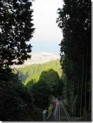
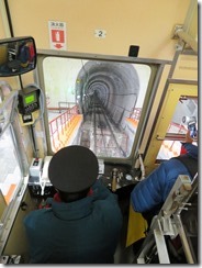
So we headed to Sakamoto Cable, the cable car down the other side of the mountain – it has a track length of 2km, the longest in the country.

IMG_1258 (Large)IMG_1280 (Large)IMG_1290 (Large)IMG_1295 (Large)

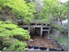
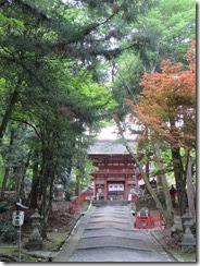
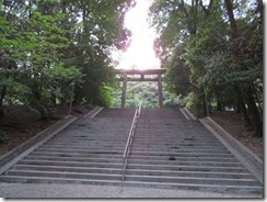
At the bottom, we headed towards our next station, but came across Hiyoshi Taisha, one of the twenty-two major shrines in Japan. It was well and truly closed, but we could still poke around the grounds, and they were really quite impressive. A river ran through it, and it had bridges crossing all up and down.

IMG_1356 (Large)IMG_1367 (Large)IMG_1384 (Large)IMG_1379 (Large)IMG_1398 (Large)

Once we’d seen that, we headed on to the train station to board the Keihan Sakamoto Line for Omi Jingu. Again, I’d managed to misjudge how long our first activity would take, and I’d intended to visit Omi Jingu after we’d finished at Enryaku-ji. We were off the train and halfway there before it occurred to us that I was mostly only still going there due to an excess of hope, but it was most certainly closed when I arrived.

IMG_1420 (Large)IMG_1434 (Large)IMG_1439 (Large)

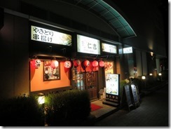
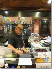
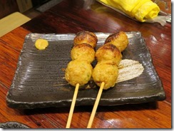
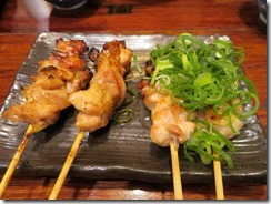
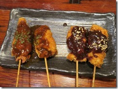
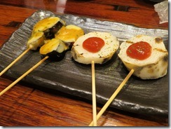
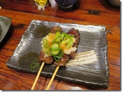
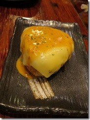
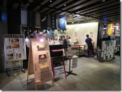
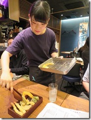
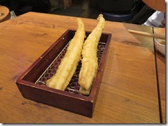
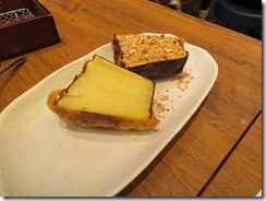
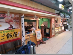
Headed back to the train station and went on to Biwako-Hamaotsu Station, where we’d be changing to the Keishin Line to take us back into Kyoto, but first we decided to head outside the station to get some dinner, eventually deciding on a kushiyaki place – makes things on skewers, mostly chicken. I actually did quite a good job of reading the menu and ordering things in Japanese, if I do say so myself – I even managed to ask if there was a “chef’s recommendation” set, but he replied that they didn’t have one, as everyone’s tastes are different, so we just ordered whatever random things caught our eye. We had a whole bunch of different chicken things, a few vegetables, and fried rice balls with cheese on top to finish up.

IMG_1490 (Large)IMG_1463 (Large)IMG_1467 (Large)IMG_1470 (Large)IMG_1477 (Large)IMG_1478 (Large)IMG_1485 (Large)IMG_1487 (Large)

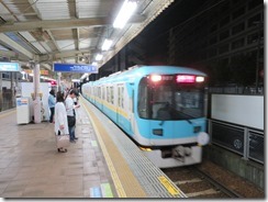
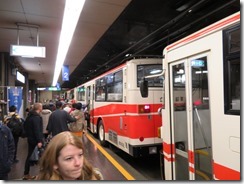
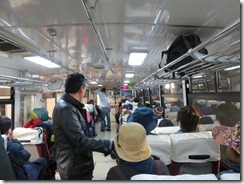
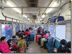
Then we headed back to the station. On the north side of Biwako-Hamaotsu Station, the Sakamoto Line and Keishin Line trains both run along the road like a tram for a short while. However, while the Sakamoto Line trains are only two cars long – and so are tram-sized – the Keishin Lines are full-sized trains, with six or so carriages (didn’t actually count). It was quite surreal looking out the windows of an actual train and seeing storefronts on either side, though soon we returned to the usual separated carriageway.

IMG_1503 (Large)

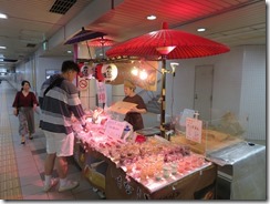
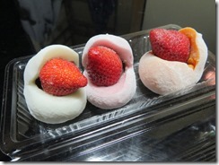
The train continued to Sanjo Station, even though I was expecting to have to transfer to the Kyoto City Subway several stations earlier (our day pass covers that bit of the subway too). As we went to transfer trains, we discovered a stall selling some traditional Japanese sweets at a reduced cost to clear their stock, so we bought a bunch of things to eat. The seller was quite impressed that I could read the kana labels on the products – I didn’t quite have the heart to tell her that I could read a fair amount of kanji too.

IMG_1513 (Large)IMG_1535 (Large)

We soon arrived back at the ryokan, where they offered us the next available slot for the big bath if we’d like, so we had a bath.

And somehow it’s now past midnight, so it’s time for bed. Photos will have to wait.

Today’s photo count: Eight hundred and ninety-nine

Today’s step count: 19,702 steps, for 14.8km

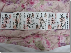
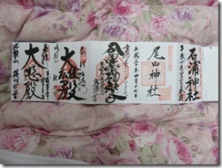
Today’s goshuin count: Nine. I think we have a new record. Only two pages left in my shuincho as well – gonna have to start keeping an eye out for a new one I’d like. One of them was just handed to me as a loose sheet, not even glued in. I wound up borrowing some glue from my ryokan to stick it down. From the right, then (that is, right-hand image first): Ishiura Shrine and Oyama Shrine from Kanazawa, Kotoku-ji from Tsumago-juku, Shaka-do, Yokawa Chu-do, Eshin-do, Ganzan Daishi-do, Daiko-do, Amida-do, To-do and Konpon Chu-do, all from Enryaku-ji.

IMG_1541 (Large)IMG_1544 (Large)

Today’s stamp count: Four, and an extra small one. Seems the Eizan line is doing some kind of promotion for the Blu-Ray release of the Yuru Camp anime, and has stamps at three stations (sadly, of the three, only Demachiyanagi was on our way). There were also two stamps for the Eizan Line itself, and a teensy one that I can’t work out the meaning of, and one from Cable Sakamoto

Posted in Uncategorized | Leave a comment

Day 8–Kaiseki

Ever since the start of this trip, the word “Shinshu” has been catching my attention everywhere we go – in all different places and all different contexts. It’s been driving me nuts, because it’s not in my dictionary. Randomly discovered yesterday that it’s a name for the province that used to exist where Nagano Prefecture is now. So there you go. Still doesn’t explain why I’ve been seeing it everywhere.

Today, after breakfast…

IMG_0238 (Large)IMG_0241 (Large)

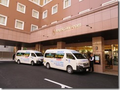
we checked out of our hotel in Nagano, and headed for our next destination. We hopped onto the hotel’s shuttle bus for the station… then hopped straight back off again, because somewhere along the way, the sun shade had fallen off James’ camera. I found it back in our room, so we hopped back onto the next shuttle bus and headed off.

IMG_0246 (Large)

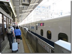
At the station, we managed to get a seat on the very next shinkansen, so we hustled up to the platform and hopped aboard when it arrived – our very first trip on the main Tokaido Shinkansen for this trip. A bit under an hour later at 250km/hr (though it sure didn’t feel that long), we arrived at our next destination: Kyoto. First thing to do on arrival: go get a manhole card from the Sewage Office a block from the station. Sadly, when I got there, he told me they were out. Or at least, I think that’s what he said. He didn’t have any, either way.

IMG_0252 (Large)IMG_0255 (Large)IMG_0259 (Large)IMG_0267 (Large)

For the third time for me in Kyoto, it proved completely impossible to book a Toyoko Inn here – once again, it’s the fact that we’re here on Saturday that’s the issue. So instead, I decided to book a ryokan again. This time I decided to shop around a bit and find a new place to try – named Kikoku-so. While the initial plan was to spend five nights here (and so not have to move around so much), I could only find a place that’d let me book for two nights – which is probably a good thing, because the cost per-person per night here is more than the total cost for both of us to stay two nights in the Nagoya Toyoko Inn. (Actually, the original quoted price was higher, but I requested no dinner our second night here so we didn’t have to worry about rushing home from sightseeing, and the total dropped by a quarter.)

IMG_0272 (Large)IMG_0273 (Large)IMG_0294 (Large)IMG_0281 (Large)

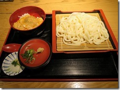
But since we came direct from Nagoya, so it was too soon to check in, so we dropped our luggage off and went to sightsee. The original plan was to just spend the afternoon admiring Shosei-en, an extensive garden literally just over the road from our ryokan. Shosei-en is actually the gardens of Higashi Hongan-ji, a temple just a few blocks away. We first decided to go and find ourselves some lunch, eventually stopping in basement eatery – James had a lunch set, and I had zaru-udon (udon noodles with a dipping sauce) which came with a mini egg-on-rice bowl. Most tasty. The waitress was most impressed that I could read the Japanese menu.

IMG_0298 (Large)IMG_0302 (Large)IMG_0316 (Large)

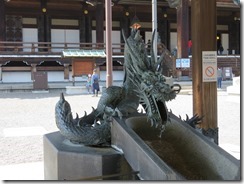
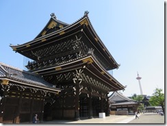
Since our search for lunch brought us near Higashi Hongan-ji, we decided to visit there before seeing the gardens. Higashi Hongan-ji, “Eastern Temple of the Original Vow”, is one of the two main sub-sects of Pure Land Buddhism, supposedly the most widely practiced branch of Buddhism in Japan. Originally the Eastern and Western temples were the same temple, but the Shogun Tokugawa Ieyasu split them apart in 1602 because he was concerned they were becoming too powerful.

It was quite an impressive temple, with a huge gate structure, and a huge hall honouring the founder of the sect, and (to our amusement) as somewhat smaller hall honouring the Amida Buddha, the actual central focus of Pure Land beliefs. We were required to remove our shoes before entering, and sadly there were no photos inside the halls, but it was quite an impressive hall all the same.

IMG_0352 (Large)IMG_0372 (Large)IMG_0374 (Large)

Once we were done there, we finally headed to Shosei-en. Also known as Kikoku Gardens (supposedly after a type of orange that used to grow here, so I guess that explains the name of our ryokan), it was an extremely lovely place. Though not entirely serene, thanks to the constant sounds of traffic even in the middle of the gardens, and occasionally a helicopter hovering overhead.

IMG_0391 (Large)IMG_0400 (Large)IMG_0432 (Large)IMG_0437 (Large)

The ground cover of the garden was mostly grass rather than moss, and it had pavilions and tea houses and whatnot dotted all over. Plus a lake crisscrossed by bridges. I explored for a while, then sat still and tried to feel the zen of the place, but soon it was time for us to check in, so we headed for our ryokan. (Gotta say, though, today’s weather was absolutely perfect for hanging around in a garden. It’s hard to believe that just two days ago we were slogging through snow.)

IMG_0479 (Large)IMG_0500 (Large)IMG_0489 (Large)IMG_0487 (Large)

It’s a very nice ryokan, possibly befitting what we paid for it. Much more service than when we checked in – at Kawashima, our previous ryokan here, we were shown to our room and left to our own devices, but here we were taken up, settled in, and they made tea for us. They speak enough English here for James to be involved in proceedings, which is useful (though sometimes it’s English nouns embedded in Japanese sentences).

IMG_0512 (Large)IMG_0518 (Large)IMG_0522 (Large)IMG_0558 (Large)

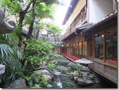
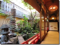
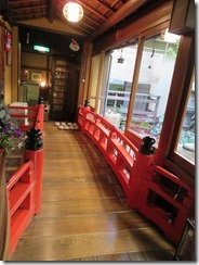
It’s got an extremely lovely central courtyard with a pond containing koi, and the central hallway runs over a little bridge.

IMG_0568 (Large)IMG_0569 (Large)

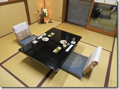
We’ve got a big two-part room on the top floor at the front of the ryokan, which is high enough that we can see over the wall of Shosei-en over the road and into the garden. Our room has a toilet and shower/bath attached too (supposedly the only one like that in the whole ryokan, though I certainly didn’t specifically request that). The room is named Zengetsu, “moon visible in the morning”.

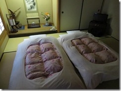
They’ve also got a family-sized bath here, so we booked the use of it before dinner and had a good soak. While we were in the bath, the staff converted our room to sleep mode, moving the table and putting out the futons.

IMG_0579 (Large)IMG_0588 (Large)

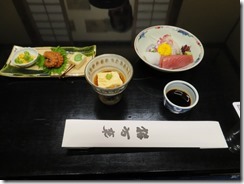
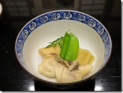
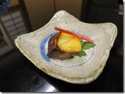
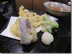
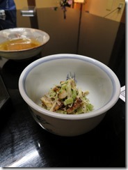
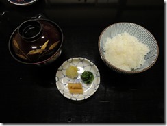
Then it was time for dinner – a full Japanese-style kaiseki meal. The first course was sashimi, with sesame tofu, sake lees and other small sides. Then there was steamed sea bream with bamboo and wheat gluten. Then grilled Spanish mackerel. Then a plate of tempura, with a bowl of… some manner of salad to follow. Then there was rice and miso soup, with a small plate of pickled sides. Lastly, grapefruit jelly, served in a wedge of grapefruit peel. (The table was extremely reflective, though, making it quite difficult to get photos without one of us being reflected in the background.)

IMG_0592 (Large)IMG_0598 (Large)IMG_0606 (Large)IMG_0610 (Large)IMG_0612 (Large)IMG_0615 (Large)IMG_0617 (Large)IMG_0622 (Large)

After dinner, we headed back to our room to relax, and then to sleep. Time for an early night, for a change. One downside, the traffic noise in the room is much louder than I would have expected…

IMG_0596 (Large)IMG_0626 (Large)

Today’s photo count: Four hundred and nine. Actually didn’t need to change the battery all day, probably because the last one only went flat right at the end of the day yesterday.

Today’s pedometer count: Only 9,534 steps, for 6.7km.

Today’s goshuin count: I would have expected Higashi Hongan-ji to have a goshuin, but it didn’t. So none.

Today’s stamp count: It did, however, have stamps. Three of them (though I saw a sign saying there’d be two more, but when I asked at the information desk, she said there weren’t any).

Posted in Uncategorized | Leave a comment

Day 7–Tempura

Yesterday’s post now has photos.

One of the appeals of Toyoko Inn is that aside from small variations in building shape and size, each one is pretty much exactly the same. You know exactly what you’re going to get. Rooms are identical, and so forth. The one here in Nagoya has a few differences. First, we noticed the bedspreads are a different colour, the bedside table is built into the wall instead of separate, the chair at the desk is a stool, the beds don’t have a sheet under the bedspread. Then we noticed the most major difference: the shower in the bathroom usually has just a nozzle-on-a-hose doobie, but this one also has a rain-type shower head fixed in the ceiling, with a lever to switch flow between them.

Today started with breakfast in the huge new Toyoko Inn’s humungous breakfast room. Rows and rows of rice balls, piles of sides, trays of bread.

IMG_9462IMG_9464IMG_9466IMG_9468

Nagoya, incidentally, is the capital and largest city in Aichi Prefecture. Actually, it kinda seems like the only place we’re staying that’s neither the capital nor the largest cities of their respective prefectures was Chigasaki. Nagoya is also the third-largest city in Japan, after Yokohama and Osaka (recall, Tokyo is not officially designated a city). 2.28 million people live here. It was largely built up during the Tokugawa Shogunate as a castle post town on the Tokaido road.

But anyway, then it was time to head out today’s activity, hiking. We decided to get the hotel’s shuttle bus back to the station, but I’d forgotten I’d spotted a couple of places that looked worth revisiting on our walk here last night. Oh well. As per the iPhone weather forecast, it was lovely and sunny all day long.

Like yesterday’s activity, this is going to require a bit of exposition. Back in Edo Period Japan, when the Shogun controlled power in the country, part of his brilliant strategy for retaining that power was requiring that all nobles spend half the year living in their own territory, and half the year living in Edo, the capital. As part of this, several routes were designated official highways. Two of these routes connect Edo with Kyoto: the Tokaido, the Eastern Sea Road, which runs along the coastline (and now lends its name to the Tokaido main line and shinkansen), and the Nakasendo, the Middle Mountain Road, which (as you might be able to tell from the name, runs through the mountains).

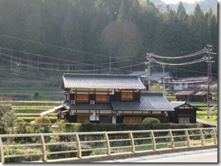
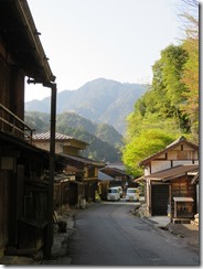
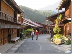
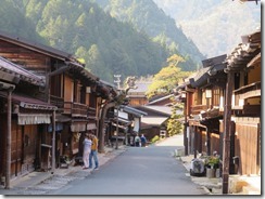
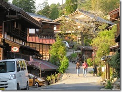
To facilitate travel, post towns were set up along each route as places where nobles and their attendants could stop for the night. Today, we walked part of the Nakasendo which still exists, between two post towns that have been restored to their appearances as Edo-period towns: specifically, from Magome-juku in Gifu Prefecture to Tsumago-juku in Nagano Prefecture, respectively the forty-third and forty-second of the sixty-nine Nakasendo post towns. Both in the Kiso Valley. It’s the most popular section of the Nakasendo for tourists today.

Getting to the start of our walk involved getting back on the Shinano Express for our second time in two days, but this time hopping off at Nakatsugawa Station and catching the bus for Magome. I noticed quite a few foreigners around the place two days ago in Kanazawa, though barely any yesterday on the Alpine Route, but today our bus was absolutely packed with westerners. Several of whom had never been trained on how bus ticketing works in Japan.

IMG_9489IMG_9520IMG_9496

In any case, after a short ride, we arrived at Magome. It was quite a nice little town, though quite steeply sloped. I kinda almost feel like I could spend an extended relaxation type holiday there. One thing that amused me was the big direction signpost pointing up the road to Edo (rather than Tokyo).

IMG_9525IMG_9535

It was a bit too early for lunch, so we decided to grab some snacks to tide us over – some Gohei mochi, the local specialty consisting of white rice pounded into a sticky cake, stuck on a skewer, coated in a sweet sauce and aromatically cooked over a flame. James needed to break a ten-thousand-yen note too, so he decided to buy some snacks from the local convenience store (modern convenience store on the inside, Edo-period building on the outside).

IMG_9540IMG_9541IMG_9543

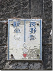
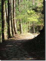
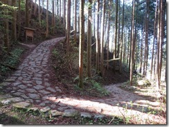
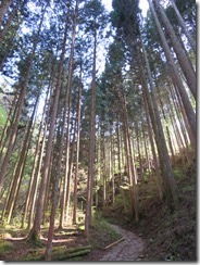
Then we set off on our walk. The total walk is about eight kilometres long – the path runs uphill for the first third of the way until Magome Pass, then it runs downhill all the way to Tsumago. It was a very nice walk, winding through the forest, and occasionally cutting across the modern roads, though the uphill section certainly took a lot of puff. As well as being the top of the walk, Magome Pass also represents the border between Gifu and Nagano Prefectures, making this the first time I’ve ever walked across a prefectural border.

IMG_9559IMG_9564IMG_9567IMG_9625IMG_9676IMG_9693IMG_9708

Shortly after cresting the path, we came across a rest house surrounded by cherry trees. The proprietor called us inside, and we found ourselves drinking tea with two couples who were also from Australia – one from Melbourne and one from Sydney. As we finished drinking, more Australians turned up – a family from Sydney, and another one from Adelaide. Guess this place is popular for Aussies.

IMG_9719IMG_9727IMG_9743IMG_9755IMG_9745IMG_9769

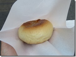
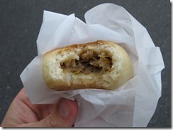
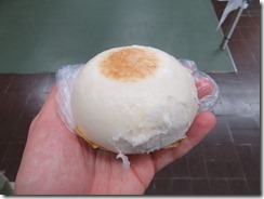
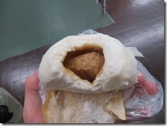
We continued on our merry way, at long last arriving in Tsumago. We only just managed to arrive shortly before the sun stated setting behind the mountains, and with only one more bus due to come before they stopped for the day. Tragically, far too late to get any lunch, but we managed to find a place open selling steamed buns. Once again my inability to judge how long an activity will take place rears its ugly head.

IMG_9792IMG_9848IMG_9814IMG_9857IMG_9888IMG_9867IMG_9900IMG_9896IMG_9907IMG_9924IMG_9915IMG_9925IMG_9949IMG_9992

We sightsaw around Tsumago for a bit, including Kotokuji, a temple built above the town which has Japan’s first human-drawn cart hanging from the ceiling in a side hall. Soon, however, it was time to go and catch the last bus for the day back to the train station, this time Nagiso Station.

IMG_0009IMG_0019IMG_0028IMG_0043IMG_0048IMG_0057IMG_0062IMG_0065IMG_0069IMG_0092IMG_0100IMG_0114IMG_0115IMG_0129IMG_0166

I was expecting to have to catch the local train back to Nagano, but it turned out that of the few Shinano trains that stop in Nagiso each day, one was due to do so in a couple of minutes, so we hustled to the correct platform to catch it. Sadly, had to make do with unreserved seats, as there was no station attendant present in Nagiso to reserve them from.

IMG_0189IMG_0196

We arrived back at Nagoya after dark. I’d originally had an evening activity planned, but decided to give it a pass this time, since by the time we could have gotten there, there would only be an hour left until it closed. So instead we had dinner at a shop selling tempura. We had a six-piece chef’s recommendation platter – containing prawn, sand groper, baby corn, asparagus (we think), pumpkin and conger eel – then followed it up with a satsuma sweet potato, which took close to an hour to prepare. Tasty, though.

IMG_0228IMG_0219IMG_0224IMG_0225

Finished off the night by getting the shuttle bus back to the hotel and getting some washing done. Sadly, though I’d been hoping to watch VS Arashi on TV, I completely missed it tonight…

Photos will have to wait, again. It was already 11pm by the time I started this.

Today’s photo count: Seven hundred and seventy-one. Used my third battery for the first time this trip, and also rolled over the next ten-thousand-photo tick in my camera.

Today’s step count: 17,218 steps, for 12.9km.

Today’s goshuin count: One – Kotokuji. And I just noticed I haven’t been posting images of my goshuin as I usually do…

Today’s stamp count: Zip. Seems like stations in this part of the country just don’t have stamps, and oddly there didn’t seem to be any on the Nakasendo either.

Posted in Uncategorized | Leave a comment

Day 6–Yakiniku

One admittedly minor peeve I’ve noticed is that although on my last trip, the assistance of my external battery let my phone’s battery last throughout the day, on this trip, my external battery seems to run out around mid afternoon, meaning I need to ration my phone use in order to make it back to the hotel. I can’t figure out whether I’m doing something different, or whether is just that both my phone and my external battery are just that little bit older, and so hold just a little bit less charge…

Today, we woke up too early, and headed down for breakfast at 7, and found the breakfast room completely packed with people. This rather seems like the popular time to be coming to breakfast. Also, as promised, the weather was all dreary and rainy. Not driving rain, fortunately.

IMG_8808 (Large)IMG_8810 (Large)

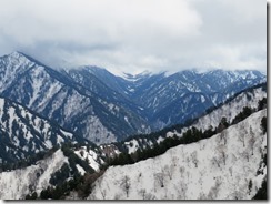
Why the early start? Today we planned to travel over the Tateyama-Kurobe Alpine Route, a journey over (and in some cases through) the northern Japanese Alps from Tateyama, a small town near Toyama, to Omachi, a city in Nagano Prefecture near Matsumoto. The route consists of taking seven different forms of public transport, with five different modes. The entire route is just 37km long, but involves an elevation change of almost 2km.

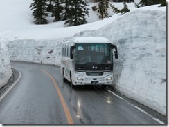
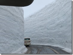
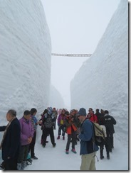
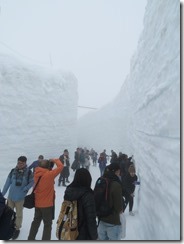
Possibly the main draw card for me was the “Snow Walls” – walls of snow up to twenty metres high from where they’ve excavated the roadway so that buses can drive on it, and you’re able to walk between them for about five hundred metres. Today was one of the first days it had been reopened to the public after the winter shutdown, so I was hoping it’d be particularly spectacular. (For those wondering whether that much snow would last into the spring, the answer is absolutely yes – the snow around that area lasts until the summer.)

Since the route did only just reopen this week, though, it’s also the peakiest of peak periods for visitors. I’d hoped that going during the week would lessen the load, and perhaps it did, but every website I consulted in my research warned that it’d be busy for the entire remainder of the month, with long waits for some forms of transport. So I’ve been doing calculations as to exactly how late we could afford to catch each leg of the journey and still make the connection to our next hotel before the trains stopped for the night, and found that we had about four to six hours of leeway, depending on how early we could get started. Just as my big day after leaving Yunomine Onsen was the main source of stress for my last trip, today was the main source of stress for this one.

Which finally brings us back to why we were having breakfast at 7am: to get the earliest train we could manage without getting so little sleep that we’d be zombies all day. Most of our breakfast companions were suits – which is perhaps not entirely surprising, since they needed to eat in time to get to work – but from their outfits, more than a few people in the room were also planning to do the Alpine Route.

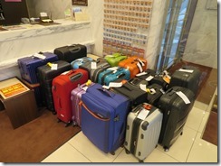
Immediately after breakfast, we finished packing and brought our luggage downstairs. Since lugging your suitcase over a mountain range does not sound like much fun, standard practice for the Alpine Route is to get your baggage shipped separately, and fortunately our hotel is one of a number of hotels in Toyama which allow you to ship directly from the hotel (rather than from the station). We bought the shipping tags from the hotel, and added our suitcases to the rather large collection of similarly-tagged suitcases, and headed off.

IMG_8811 (Large)

We’d already purchased our tickets in the form of a single combo ticket the day before – weirdly, it’s sold by JR, even though not a single leg of the Alpine Route involves any JR property. A friend of mine is planning to do this same journey in a couple of weeks, and she introduced me to this deal. It’s actually cheaper than buying the Alpine Route trips individually, but it also includes the connections back to the train lines at each end, so it’s quite a bargain. They need to be bought by the day before you want to use them at the latest, though.

So our first trip – the zeroth leg of the Alpine Route, I suppose – was the private line Toyama Chiho Railway from Dentetsu-Toyama Station (adjacent to the JR Toyama Station). We managed to turn up in time for the express train to Tateyama (though that requires a small extra surcharge), and they exchanged our JR ticket for the pass that we’d be using for the rest of the day (which also includes a start time for the first actual leg of the route). The train quickly left Toyama and started to head into the mountains, soon arriving at Tateyama Station.

IMG_8817 (Large)IMG_8823 (Large)IMG_8839 (Large)

Our tickets wouldn’t let us board the next leg for about forty minutes after arriving, so we had a short wander around the immediate area, though it was still drizzling, but soon, our time came to board.

Segment number one: the Tateyama Cable Car from Tateyama to Bijodaira. Which, in apparent contradiction to the name, is a funicular railway. They use the words differently in Japan, basically. The car was actually quite packed, and I wound up trapped in the middle, unable to take any photos. Not a bad view, though, as we climbed higher and higher, then at the top, we entered into a tunnel.

IMG_8865 (Large)IMG_8869 (Large)

And after we’d disembarked and emerged from the station, snow! Snow everywhere! I mean, except falling from the sky. Actually, it was still trying to drizzle. We looked around for a little bit, then went to queue for our next segment. While lining up, though, I spotted a sign “Snow Walls closed today”. Disaster! And also, there were a few short walks in the area that I was vaguely hoping to try out, but there was another sign up saying they wouldn’t open until the end of May. Bah.

IMG_8872 (Large)

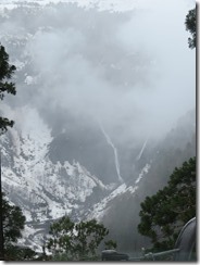
Anyway, segment number two: Bus from Bijodaira to Murodo. Specifically, the Tateyama Highland Bus. James and I managed to score the front seats, so we had a good view out the front window, though they also had a tourist information DVD playing on the bus’ TV. Not too long after leaving Bijodaira, the bus stopped at a corner with quite a nice view of Shomyo Falls, Japan’s highest waterfall.

IMG_8886 (Large)IMG_8900 (Large)

“But wait,” you say. “Didn’t you say that about Nachi Falls?” Well, no – I said Nachi was Japan’s highest single waterfall. Shomyo has a total drop of 350 metres, but over four stages of 70m, 58m, 96m and 126m. It’s also adjacent to Hanoki Falls, which is 497 metres high, but since it only flows from April to July, when the snow on the Midagahara Plateau melts, that means it doesn’t count, for some reason.

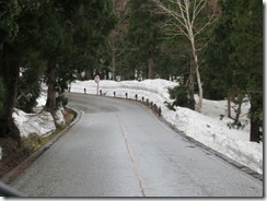
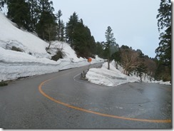
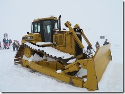
I’d hoped to see the Shomyo Falls up close – there’s a bus there from Tateyama Station – but I wasn’t sure we’d have the time for it, so being able to see it from this bus was a nice treat. After that, the bus continued on, and as it did so, the walls of snow alongside the road grew higher and higher, until they were seventeen metres tall – about the height of a six-storey building, and then we were at Murodo, the highest point on the journey, with an altitude of 2450 metres.

IMG_8898 (Large)IMG_8903 (Large)IMG_8909 (Large)IMG_8930 (Large)IMG_8944 (Large)

Murodo is where the Snow Walls are, and sadly, as per the sign in Bijodaira, they were closed to pedestrians. It was never clear to me exactly why it was closed, but I had a feeling it’s because having it open reduces the bus roadway to only one lane, and they required both lanes to support the volume of visitor traffic.

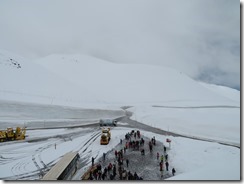
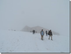
On the plus side, though, the rain had stopped. On the downside, however, fog quickly rolled in, turning everything a completely uniform white – snow below and fog above. Without sunnies on, it was absolutely blindingly bright, but even with sunnies on, my pupils were so contracted I could not read my camera or phone screens at all. James and I thought to explore a little bit down some walking paths, but even though the paths were lined with rope handrails, with everything so uniformly white, we weren’t really willing to move out of sight of the station.

IMG_8950 (Large)IMG_8961 (Large)IMG_8986 (Large)IMG_8993 (Large)IMG_8964 (Large)

Continuing the game of good news bad news, though, there was fortunately a miniature pedestrian-only version of the Snow Walls that we could walk down and admire, and it was pretty interesting. Looking up close at the snow, you could see layers of ice. Also, it actually wasn’t all that cold. It was supposed to be about 3°C, but I felt heat on my head and arms like the sun was beating down on me, even though I couldn’t see it at all.

IMG_9003 (Large)IMG_8996 (Large)

After sightseeing around there for a bit, we each bought a steamed meat bun for morning tea, then went to queue for the next form of transport.

IMG_9023 (Large)IMG_9025 (Large)

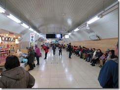
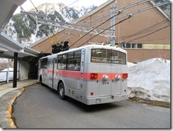
Segment number three: the Tateyama Tunnel Trolley Bus. One of only two trolley buses still operating in Japan, this runs entirely underground through a tunnel under what my visitors’ guide map calls “Mount Tateyama”, but which all the various audio guides called something else I never quite caught the name of. It’s in a tunnel both to protect the environment from the bus, but also to protect the bus from the environment – specifically, from all the snow. And so because it’s in a tunnel, it’s a trolley bus, because it produces no emissions. Since a trolley bus is legally classified as a type of train in Japan, this makes Murodo the highest-altitude train station in Japan. (It also includes Japan’s highest hot spring, but we didn’t get a chance to see it.)

IMG_9030 (Large)IMG_9033 (Large)IMG_9036 (Large)

James and I were right up the back for this leg, and the seats were surprisingly comfortable for a bus. The buses drove together in convoy – probably because it speeds up loading at each end – and most of the tunnel is one-lane, save for a section in the middle where buses can pass.

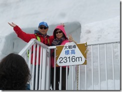
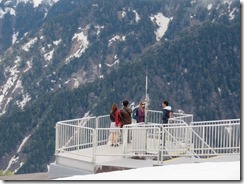
At the other end of the tunnel, we emerged blinking into the sun at Daikanbo, in a small station perched on the side of a steep mountain. It had a three-tier lookout deck, but sadly, all there was to see was white. Lots and lots of white. With nothing else to do there but buy coffee, we decided to move on.

IMG_9050 (Large)IMG_9051 (Large)

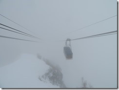
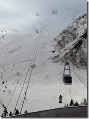
Segment number four: the Tateyama Ropeway. This is what we in Australia would call a cable car, or what Americans would call an aerial tramway. From the top station, all there was to see, though, was two sets of cables abruptly disappearing into the fog, when suddenly, one appeared.

IMG_9075 (Large)

I call this artwork “Gondolas in the Mist”. Now where’s Dian Fossey? In any case, we piled aboard. I found myself pressed against the door, but I got a spectacular view. It’s actually the longest unsupported ropeway in Japan. Pretty soon after we set out, we dropped below the clouds, and could finally see views of the mountains all around.

IMG_9079 (Large)IMG_9084 (Large)IMG_9094 (Large)

Arriving in Kurobedaira, we headed outside to the “Garden” – really just a patch of more snow to tromp around in – for a bit of looking out, then we headed up to the roof of the building for a better vantage point. James even launched his drone to make a panorama. It was quite curious watching the cable car cables just vanishing into the clouds, like Jack’s beanstalk, or something.

IMG_9117 (Large)IMG_9135 (Large)IMG_9154 (Large)IMG_9167 (Large)

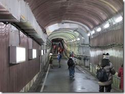
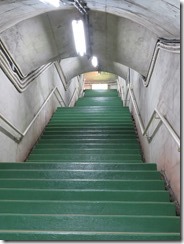
Segment number five: the Kurobe Cable Car. Another funicular, though this one running entirely through a tunnel, which descended down into the Kurobe Gorge, stopping at Kurobeko – Lake Kurobe. To get outside from the funicular, we had to walk down a longish tunnel and in contrast to how warm it was hanging out in the snow, that tunnel was certainly cold. At the end of the tunnel was…

IMG_9177 (Large)IMG_9185 (Large)IMG_9203 (Large)IMG_9205 (Large)

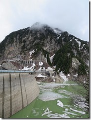
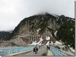
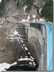
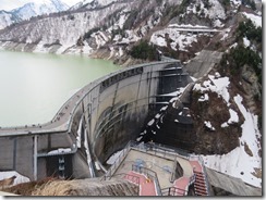
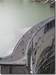
Segment number six: walking. Specifically, walking across the Kurobe Dam, the tallest dam in Japan. Construction on the dam started in 1956 as a solution for a lack of electric power in the Kansai region of Japan, today it’s regarded as “the most popular hydropower site in Japan”, though I wonder if its position on the Alpine Route might have something to do with that. From May onwards, they frequently release water from the spillway for the enjoyment of onlookers.

IMG_9208 (Large)IMG_9229 (Large)IMG_9223 (Large)

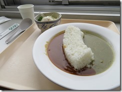
We strolled over the dam, and decided to stop at the rest house on the other side for lunch. We both got varieties of the rest house’s specialty – Kurobe Dam curry. To be specific, it’s Japanese-style curry rice, but with the rice formed into the shape of the Kurobe Dam. I had the two-curry dish, with red and green curry, and the rice was holding them apart. It was, I confess, a little spicier than I expected Japanese curry to be, so I got a hot can of royal milk tea (basically just tea with milk and sugar) from the vending machine to soothe my mouth a bit.

IMG_9247 (Large)

After lunch, we still had plenty of time left until we had to catch the next leg, so we strolled up to the upper observation deck. Or to be more precise, we clambered up the two hundred and twenty-odd steps. Impressive view from the top, though.

IMG_9262 (Large)IMG_9266 (Large)IMG_9332 (Large)IMG_9282 (Large)IMG_9300 (Large)IMG_9310 (Large)

Once we got back to the bottom, I realised to some surprise that the next departure time was the last one before the final one we could take, so we hurriedly joined the queue. Not at all sure what happened to all that extra time we had.

IMG_9335 (Large)

Segment number seven: the Kanden Tunnel Trolley Bus, the other of Japan’s two remaining trolley buses. This was built by the Kansai Electric Power Company to assist in the construction of the dam, and they constructed (and still own) the trolley bus once it was done (since the tunnel proved not up to the task of being opened as a public road for cars). Since, as mentioned before, trolley buses are legally considered railways, this ironically makes the Kansai Electric Power Company the railway operator in the country with the largest capital stock.

IMG_9337 (Large)

But anyway, the trolley bus is again almost entirely underground, crossing from Toyama Prefecture to Nagano prefecture shortly after the middle of the tunnel, before emerging to the surface just before the lower terminal at Ogizawa. We hopped off the trolley bus, and pretty much straight on the regular old local bus which was our connection to the nearest railway station, and soon we were back below the snow line and back in civilisation.

IMG_9341 (Large)IMG_9345 (Large)

It was a fun trip, all in all, despite the lack of side activities I’d been hoping to do, and the lack of view in some of the higher stops. If I do it again, it might be worth staying in Tateyama so I can start a bit earlier, or even splitting it into two days, staying at the hotel at Murodo in the middle. Though many of our rides were quite crowded, the long wait times prophesied by various sources fortunately failed to eventuate. The rain let up too, which was also nice. I did get a bit sunburnt, though, or probably snowburnt.

In any case, the bus dropped us at Shinano-Omachi Station, where we (fortunately) found our luggage waiting for us. And a cherry tree in full bloom right next door. We headed into the station and hopped onto an Oito Line local train for Matsumoto. At Matsumoto, we booked seats on the Shinano Express for Nagano, then tried to find some dinner.

IMG_9380 (Large)IMG_9384 (Large)IMG_9395 (Large)IMG_9397 (Large)IMG_9416 (Large)

On our last visit here, we picked up some ekiben from a shop at this station, except I wound up with some kind of sushi thing instead of an actual bento, so I kinda wanted to try again, especially when I saw a picture of the new Matsumoto specialty ekiben. However, it took us forever to find the shop – I couldn’t remember where it was – until two non-Japanese women told us it was inside the ticket gates. So we rushed off there… and discovered they were sold out of every single bento box they had.
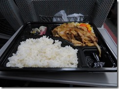
So we wound up going back to another shop we’d seen earlier offering fresh bentos, and we both ordered yakiniku – grilled meat – boxes. They came with quite a lot of rice, but seemed to be a little stingy on other sides. Oh well, they were quite tasty all the same. By the time we received them, though, we basically had to rush for the train, but we made it just in time.

IMG_9436 (Large)IMG_9439 (Large)

For the third time, I’ve now gotten off a train in Nagoya, and for the second time, I’ve actually left the station. Now on this trip, for the first time, I’m actually staying here. Our next hotel is here in Nagoya – and unlike in Toyama where we missed the opening of a new hotel by mere days, in Nagoya we’re staying in one of the newest hotels in the chain, having opened just last month in March. But also unlike Toyama, where the new hotel is just across from the station, this hotel is about a kilometre away, which is not great. It’s quite palatial, though – it’s like an actual grand hotel, with an entrance driveway and multiple banks of elevators and so forth. And as I’d expected, it uses my member card to open our room door (though James was given his own generic card key as well).

Tragically, I think I might have left my pen sitting on the reception desk in our Toyama hotel, after I used it to fill out my luggage forwarding tag…

Welp, time for bed now. Since it’s just about midnight, photos will have to wait. Possibly even two nights – we’ve got a plan for tomorrow night as well, but that may be cancelled depending on how we’re going. Three late nights in a row might be a bit much.

Today’s photo count: Six hundred and fifty-five
Today’s step count: 13,230 steps, for 9km exactly

Today’s goshuin count: I was vaguely hoping to find some kind of temple or shrine on the route – Shinto has frequently involved mountain worship, and supposedly along with Mount Fuji and Mount Haku (in Gifu), Tateyama is regarded as one of Japan’s three holy mountains. But there wasn’t any kind of temple or shrine. Sooo… no goshuin.
Today’s stamp count: Oh, boy was today a busy day for stamps. The Alpine Route visitor’s guide has spaces for stamps, one at each station, and I discovered they also have larger versions for people’s stamp books, so I stamped the small one on the guide, and the big one in the book. Trouble is, I clean forgot Murodo’s until after we left, and we couldn’t find Ogizawa’s anywhere, and had to get on the bus right then or be stuck there another half-hour. We also found a separate series of ten stamps around the Kurobe dam, but we only found seven of those ten, which I stamped three to a page (as they’re quite small). I also got stamps from Shinano-Omachi Station and Matsumoto Station, though clean forgot that Dentetsu-Toyama Station might have a different stamp to the JR Toyama Station. So in total, nine big ones, seven small ones, and five ones in the visitor’s guide. Whew.
Posted in Uncategorized | Leave a comment

Day 5–Sushi

One trouble with coming in mid-spring is how middling the temperature is. That may be a bit confusing, so let me explain: in the summer, it’s hot, so we can go around in short sleeves all the time. In winter, it’s cold, so we can go around in jumpers all the time – maybe even thermals. Here in April, though, it’s middling. Warm in the sun, cold after sunset, so if it’s warm enough to not need our jumpers, we still need to carry them around in case the weather changes. And with all our camera straps and bags and whatnot, putting on or taking off a jumper can be an ordeal. Fortunately, it’s cool enough here in Hokuriku for full-time jumper-wearing. Maybe even thermals.

Started with breakfast in our new hotel’s lobby. This hotel is a bit larger than our last, and the breakfast room is correspondingly larger. And quite crowded.

IMG_8186 (Large)IMG_8187 (Large)IMG_8188 (Large)

After breakfast, we headed out for our planned activity: spending the day in Kanazawa, in nearby Ishikawa Prefecture, which we reached by hopping back onto the Hakutaka train. Tragically, I realised seconds after settling into my seat on the train that I’d left my umbrella hooked on the edge of the counter in the ticket office.

IMG_8197 (Large)

Kanazawa is the capital and largest city in Ishikawa Prefecture, with a population of 466,029 – in fact, it’s the nearest major city to Toyama. During the Tokugawa Shogunate it was ruled by the Maeda clan, who through shrewd dealings were able to increase their holdings into the largest feudal domain within the shogunate, and in the 1700s, the population of the city already rivalled that of other major word cities of the time like Rome  and Amsterdam. The city’s name means “gold marsh”, springing from a legend that a peasant digging for potatoes found gold flakes instead – today, Kanazawa produces about 99% of Japan’s gold leaf, including all the gold leaf that covers Kinkaku-ji in Kyoto.

IMG_8208 (Large)IMG_8221 (Large)IMG_8233 (Large)IMG_8273 (Large)IMG_8245 (Large)

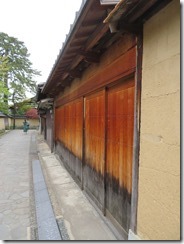
Our trip was brief but uneventful, and soon we were heading through the streets of Kanazawa. First, we decided to head for the Nagamachi District, a part of town which still retains its streets and buildings from when the samurai used to live there. It was quite a nice little district, with lots of old buildings. Even a few canals, flowing quite strongly – James thought they might be snowmelt, but neither of us cared to test the water temperature in order to find out, even if we could reach the water.

IMG_8269 (Large)IMG_8272 (Large)IMG_8315 (Large)IMG_8327 (Large)IMG_8347 (Large)IMG_8351 (Large)

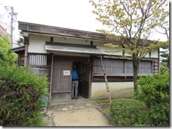
One building – formerly a home for a low-ranking samurai foot soldier – was open to enter and wander around for free, so we did. We had to take our shoes off to enter, but James had decided today of all days to wear his lace-up walking shoes today instead of his slip-on shoes. It was quite a nice little place, all the same.

IMG_8284 (Large)IMG_8279 (Large)IMG_8283 (Large)

Roughly at this point, my camera battery ran flat (about the same time as it would any other day), but when I went to change to my first spare, I discovered to my horror that I’d left it sitting in the charter in the hotel. I’m having a great day so far, aren’t I? I switched to the second spare, a little bit worried, but not too concerned, since so far this trip, I’ve only needed one spare each day.

After that, we curved to the left to head for our next destination. Before we reached it, we decided to pop into a shrine by the name of Ishiura Shrine (the name comes from an old name for the area – means “stone bay”). Mostly it caught our eye because they seemed to be setting up for some kind of event, probably on tonight. Still no particular idea exactly what festival, but I decided to get a goshiun all the same. As I waited at the window, a few ladies who had already handed over their books caught sight of my own book, and were extremely impressed by how many I had collected. They were so impressed that I briefly forgot that when you’re complimented in Japanese, the appropriate response is not to thank them, but to downplay your accomplishment. “No, it’s not that impressive” kind of thing. James even managed to earn some kudos just by association. I compared notes with one of the women – we both had Matsunoo Taisha in Kyoto, for example, but she was quite amazed that I also had nearby Koke-dera as well.

IMG_8358 (Large)IMG_8359 (Large)

But anyway, our main reason for heading in that particular direction was to visit Kenroku-en. Meaning “Six Attributes Garden” (with the attributes in question being spaciousness, serenity, venerability, scenic views, subtle design, and coolness), Kenroku-en is regarded as one of the Three Great Gardens in Japan, along with Koraku-en in Okayama, Okayama Prefecture, and Kairaku-en in Mito, Ibaraki Prefecture. Originally part of the gardens of the adjacent Kanazawa Castle, it was first opened to the public in 1874.

IMG_8404 (Large)IMG_8406 (Large)IMG_8415 (Large)

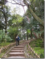
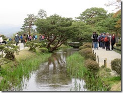
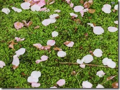
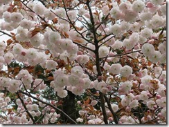
It certainly was quite an impressive park. We wandered all around looking at things – moss-covered beds, towering trees, more than a few flowers, two large ponds, and even Japan’s oldest fountain – still operating, gravity-fed from the upper pond. For an added bonus, we were actually able to see a cherry blossom tree still in bloom – one of a species that blooms later than others. Just the one, though, so we didn’t really get the full cherry blossom blizzard effect.

IMG_8380 (Large)IMG_8383 (Large)IMG_8410 (Large)IMG_8457 (Large)IMG_8462 (Large)IMG_8475 (Large)IMG_8492 (Large)IMG_8508 (Large)IMG_8519 (Large)IMG_8531 (Large)IMG_8541 (Large)IMG_8563 (Large)IMG_8567 (Large)

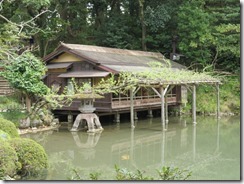
After a bit of a wander, we stopped for lunch at a building built almost over the water. We sat in tatami-mat room at a low Japanese style table at ate tsukimi soba – soba noodle soup with a raw egg broken into the middle – and gazed out over the pond. Quite relaxing. Quite tasty. Also, marked the second time we had to take our shoes off today.

IMG_8427 (Large)IMG_8428 (Large)IMG_8437 (Large)IMG_8444 (Large)

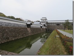
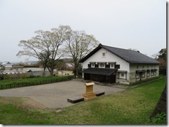
After lunch, we looked around the park a bit more, then crossed a bridge and entered the Kanazawa Castle gardens. The castle buildings used to occupy almost the entire area of the gardens – sadly today, only a handful remain, with the rest having burnt down in a fire in 1759. Part of the castle – comprising a gate at one end, an arrow turret at the other, and a hundred-meter-long warehouse in between – was restored in 2001 using traditional construction methods – all interlocking tennons and dovetails and keys in notches, all held together with wedges, no glue.

IMG_8586 (Large)IMG_8597 (Large)

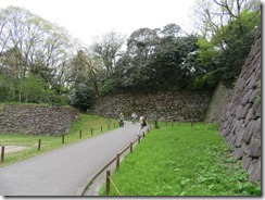
We looked around the outer gardens for a while, and they were also quite nice. Some parts were heavily forested, but the remaining foundations of arrow turrets offered some quite spectacular lookouts.

IMG_8607 (Large)IMG_8617 (Large)IMG_8637 (Large)IMG_8659 (Large)IMG_8664 (Large)

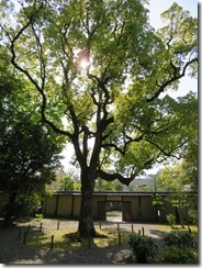
Then we headed in to see the reconstructed castle buildings. It wasn’t all agéd like Matsumoto Castle, but in form it still looked like a proper old castle, just done in new wood and varnish. Not, you know, marble and air conditioning like the Osaka Castle restoration. The weirdest thing is that the everything in the building’s floor plan – outer wall shape, floor board and ceiling joust angles, even the supporting columns – is a diamond shape, not quite square, with angles of 80° and 100°, just the same way as how the original castle was constructed. It was… quite weird. I’m just relieved the walls were vertical and the floors were horizontal. We once again entered with no shoes – de-shoering number three.
IMG_8722 (Large)IMG_8684 (Large)IMG_8705 (Large)IMG_8713 (Large)IMG_8676 (Large)IMG_8725 (Large)

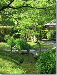
After we’d seen the castle building, we headed down to Gyokusen’in, a small garden built for the wife of the second lord of the domain, below the walls at the back of the castle. It was quite a nice little garden, with a pond and a waterfall, and little bridges. I quite liked the way the castle walls towered over the garden (and, indeed, that’s described as one of the highlights).
IMG_8740 (Large)IMG_8743 (Large)IMG_8761 (Large)

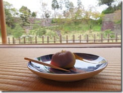
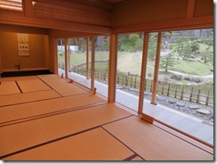
It also contained a tea house, where we decided to order the matcha tea and traditional sweet set. We juuust managed to get there in time, entering right at 4pm, the time for last orders of the day. One other couple was already there. It was incredibly serene, with a panoramic view of the gardens through the windows. Matcha is often served with traditional sweets – the sweetness of the sweet is intended to directly contrast the bitterness of the tea. And, for the fourth time, we needed to remove our shoes.
IMG_8774 (Large)IMG_8776 (Large)

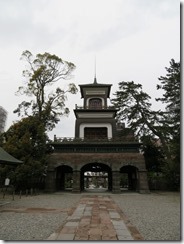
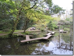
I’d hoped to visit one more district in town – Higashi Chaya, the old geisha district, but it was starting to get on, so I decided we should skip that and head to the next attraction instead. But on the way, we got distracted by another shrine, this one named Oyama Jinja. It too had quite a lovely garden, with a nice pond, with bridges and boardwalks running all over it. One of the shrine’s most distinctive features is its entrance gate – instead of the usual torii gate typical for shrines (though there was a separate torii outside the main gate), or even the Chinese-style gate used for temples, Oyama’s main gate is instead a three-storey tower, combining elements of Japanese, Chinese and European religious architectural elements, including Dutch stained-glass windows on the third floor. I still don’t know the story behind that, and my quick Google hasn’t turned up much (though the reasoning for Dutch influences at least is clear, since the Dutch have been trading with Japan for quite a while).

IMG_8803 (Large)IMG_8799 (Large)IMG_8795 (Large)

At this point, my greatest fears came to pass: my first backup camera battery went flat. I managed to squeeze out a few more photos by draining both batteries completely dry, but my photo-taking basically stopped at this point, though I did take a few on my phone. James took more photos, so I’ll need to get them from him later.

Shortly after leaving there, it sadly started to rain – as the weather forecast predicted, actually – but fortunately we were able to reach our next destination before it got too hard. The destination in question being Omicho Market, a huge covered market comprising 170 stores in a small network of streets. Sadly, many of the shops were already closing or closed – it was after five, though I confess I had been expecting they’d stay open longer.

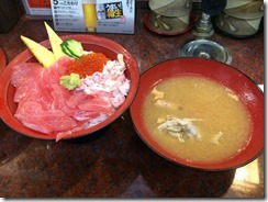
We stopped for dinner in one place that was still open – sushi. James had a “chef’s recommendation” nigiri plate, while I had a tuna belly meat rice bowl with shredded crab and salmon roe. Both came with a type of miso soup made by boiling fish scraps together. A little bit… weird.

IMG_3819 (Large)IMG_3816 (Large)IMG_3815 (Large)

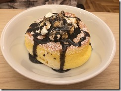
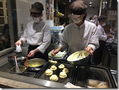
After dinner, we headed back to the station to try out some Japanese-style pancakes on the recommendation of a mutual friend. The shop was named “Happy Pancakes”, and for most of our visit, we were the only males in the store – it was almost filled with school girls. We decided to have roasted soybean flour almonds with black sesame sauce, to try something more exotic. Quite tasty.

IMG_3829 (Large)IMG_3835 (Large)

Pancakes done, we booked shinkansen tickets for our trip back to Toyama, boarded the train when it came, and headed back to our hotel. On the way, we dropped by the ticket office to see if they had a lost property. For those who have been sitting on the edge of their seat since the third paragraph screaming “but what about the umbrella!?” you can now rest assured – my umbrella and I have been reunited. I even used it on the walk back to the hotel.

Tragically, tomorrow’s forecast is rain. Rain, rain, rain. Which is seriously unfortunate, because tomorrow is one of the most major outdoor activities planned for this trip. We’re going to press on with it and hope, because we haven’t got much alternative (it’s how we’re getting to our next hotel). Fortunately, Thursday’s weather is forecast to be sunny.

Today’s photo count: six hundred and forty-seven, including the ones I took on the phone.

Today’s pedometer count: 20,236 steps, for 15km

Today’s goshuin count: Two – Ishiura Shrine and Oyama Shrine

Today’s stamp count: One – Kanazawa Station

Posted in Uncategorized | Leave a comment