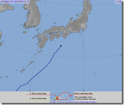
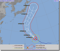
Some fun new news coming out of the Japan Meteorological Agency. Meet storm number 20. Little guy, goes by the name of Neoguri. He never got above category 2, and even now he’s pottering out, but he’s still bringing down the rain, which is not awesome.
And then there’s the next guy, storm number 21. Name is Bualoi, currently sitting comfortably at category 4. Not forecast to directly make landfall, but he is due to juuust scrape past Tokyo on the 25th. And guess where I’ll be on the 25th…
Guess I’m really not getting the luck for weather this trip. At least the two big festival days were nice. And Nikko, too.
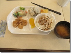
But anyway. Breakfast.
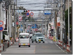
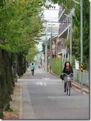
Considering the late night I’d had last night, I decided to take things easy today with a walk around the area of my hotel. Take a stroll, spend a few hours, then get the train to my next hotel and have an early night.
As previously mentioned, I’m in Toda, a city in Saitama Prefecture. The 1964 Tokyo Olympics put Toda on the map when the rowing events were hosted here – and the starting line end is just a few blocks from my hotel. The course was actually built for the 1940 Olympics, which were cancelled due to WWII, and they were then restored for 1964. The city is right on the shore of the Arakawa – the same one that passed through Chichibu, so if I really wanted, I could swim back there – and in this area, the Arakawa forms the border between Saitama and Tokyo – one station further south on the Saikyo Line and I’d be in Tokyo. (It’s part of my I stayed here – if I hadn’t gone to the museum yesterday, I could have just as easily headed to Tokyo for a day trip.) Toda is also sister city with Liverpool in Sydney.
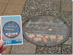
But as well as going for a stroll along the Toda Rowing Course and the Arakawa, I also had an ulterior goal: not one, but two manhole cards are available in this area, one about a quarter-hour’s walk from my hotel, the other almost an hour’s walk (so I’ve marked the first on my map in yellow, and the second in dark orange). But there’s also a bus that runs from the second all the way back to Toda-Koen Station, so I decided I’d walk to the first along the Toda Rowing Course, walk to the second along the Arakawa, and then get the bus back.
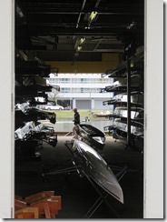
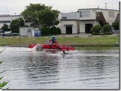
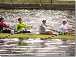
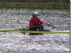
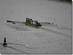
Had a little bit of a senior moment before I left – I threw a twist tie into the bin, then a minute later was surprised to find it still on the desk, and then a minute after that I realised I couldn’t find my sunglasses (yep, I’d thrown them in the bin the first time). It was an interesting walk. People were rowing on the course – a pair of eights and a pair of singles.
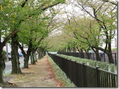
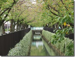
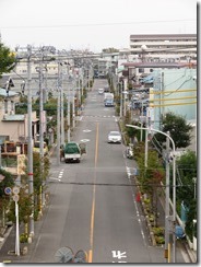
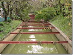
Then I headed north for the Toda Community Centre (where I’d find Toda’s manhole card), and came across the canal that runs past my hotel, except here it’s extremely picturesque and lined with sakura trees. Not in bloom, of course, but certainly in full leaf. Quite nice.
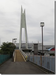
After popping inside to get the card (I had to head up to the fourth floor, and into the actual administration office to get it, but as I prepared to wait in line for it, one of the ladies behind the counter waved me over and handed it to me while serving someone else), I headed back to the rowing course where I could cross over it on a bridge.
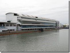
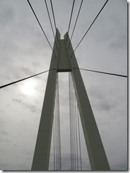
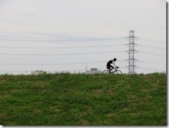
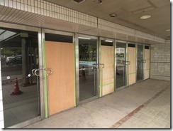
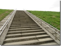
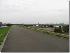
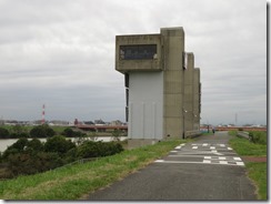
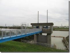
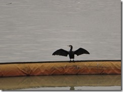
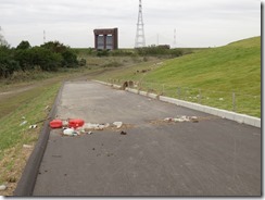
On the far side of the bridge, there was a rowing centre that had clearly come out the worse for wear after Hagibis – there was dirt everywhere, and several windows were boarded over. Just on the far side of the building was the embankment along the shore of the Arakawa – and it’s quite a high embankment. I clambered up the stairs to the top, and there was a fairly nice view of the Arakawa, though admittedly not awesome. Lots of little flying insects – probably why everyone up there was jogging or riding a bike. Saw some massive flood gates preventing the Arakawa from flooding the Sasame River (though I guess perhaps the Sasame River flooded the Toda Rowing Course instead).
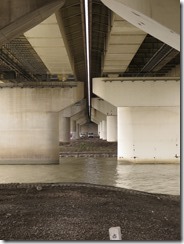
After crossing under a highway bridge, I came upon a section of the shore with some noticeable evidence of flood – bent over trees, grasses and rubbish caught in things, and at one point, there was an obvious high-water mark running along the embakment.
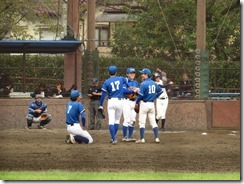
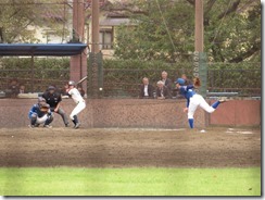
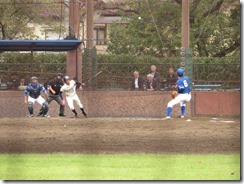
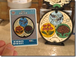
Eventually, I reached Sasame Park, and found a baseball match in progress. Took a few photos, then crossed over the road to the Arakawa Left Bank Water Circulation Centre, where I got the Saitama Prefecture A001 card (there’s eight cards relating to Saitama Prefecture rather than any specific city, though only this particular one was available here). Sadly, the specific manhole depicted on the card was a fair distance away, but fortunately there was a replica in the lobby.
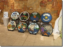
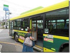
Card got, I headed down the road to the bus stop. Actually it was a small bus depot – the bus I could, I’d be riding all the way from one end of its route to the other. And soon I was back at Toda-Koen Station. Stopping for a moment to grab a photo of the Toda manhole cover, I headed for my hotel, retrieved my luggage, and returned to the station again.
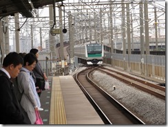
Caught the Saikyo Line to Omiya once again (used day four on my JR East Pass – today’s my second most expensive travel day). It occurred to me I’d done that every day I was here – would have been nice if there was a Toyoko Inn in Omiya. At Omiya, I planned to head to Bic again so I could buy an external hard drive – I discovered last night when I went to backup my photos that I’d only brought one hard drive, and it’s the one that (for reasons I can’t work out) won’t mount on my laptop – but after booking a seat for my next Shinkansen trip (it’s a two-hour trip, so I’m not gonna rely on the unreserved seating), I had only about twenty minutes until my train left, I still needed to buy lunch, and it was an hour until the next one.
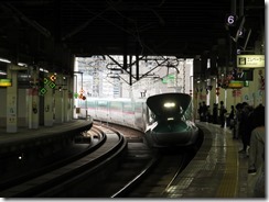
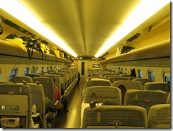
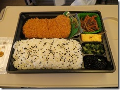
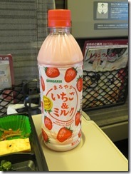
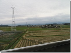
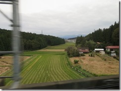
So I bought lunch at a bento shop – fillet katsu – and a bottle of strawberry milk from a vending machine, and headed up to the platform to wait. Unfortunately, I was given an aisle seat, and my window partner had the blind down. I took a few shots from the vestibule, but mostly I just enjoyed the trip. My train is a Yamabiko on the Tohoku Shinkansen line – faster than the all-stops Nasuno, but slower than the few-stops Hayate or Hayabusa. It’s Japan’s longest shinkansen line, with a total length of 674.9 km from Tokyo to Aomori. (A yamabiko, by the way, is a mountain spirit – if you’re in the mountains, and you hear a delayed echo, that’s not an echo, that’s a yamabiko. It’s usually depicted as a cross between a dog and a monkey, with its arms outspread like it’s in the middle of a shrug.)
I’ve headed up to Ichinoseki in Iwate Prefecture, way up towards the northern end of Honshu. This part of my trip is the last remaining part of plan “head north and see the autumn leaves” – I figured Iwate was about as far north as I could go without losing too much time to travelling (and honestly, there’s not a large number of things on my to-do-in-Japan list that’s further north than here).
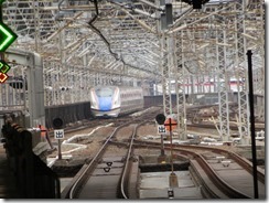
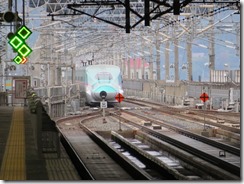
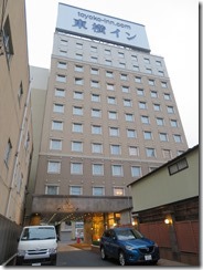
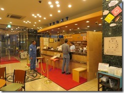
Hopped off the train at Ichinoseki Station, and it’s a fair bit cooler here – back to the temperatures of Nikko, basically, and back into the jumper. As I stood on the platform waiting for the train to leave so I could photograph it, a Hayabusa went through on the centre tracks at full speed, and the entire Yamabiko train rocked from the air pressure. Scary. I could see my hotel from the Shinkansen platform, which was nice. (Actually, when I arrived at the hotel, there was an advertising video playing on the lobby TV counting how many Tokoyo Inns can be spotted from the Tohoku Shinkansen – it’s twenty-six, if memory serves.)
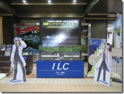
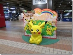
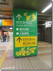
There’s a whole lot of posters in the Shinkansen concourse campainging for the International Linear Collider to get built in Iwate (apparently they’re still trying to decide where it’ll be, and Japan’s quite interested in hosting it). Also there’s posters about a Pokémon tourist train – the Pokémon With You train – that leaves from here on the Ofunato Line (I think it’s intended to reinvigorate tourism – part of the Ofunato Line was damaged beyond repair in the 2011 disaster, and it’s been replaced by a Bus Rapid Transit system). Tragically, it only runs on weekends, school holidays, and public holidays, but not last weekend. And it’s Monday anyway.
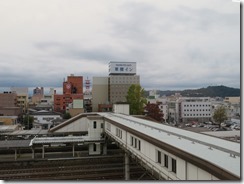
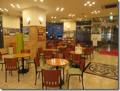
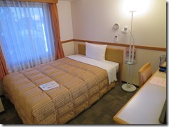
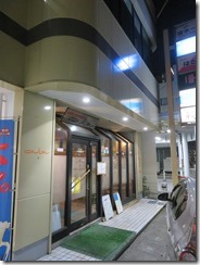
I headed out of the station for my hotel. From Google Maps, I was expecting to have to walk around the block to reach it, but in real life, there’s an entrance on the street that crosses in front of the station – this may well be the least walking I’ve had to do to reach a hotel so far. Sadly, I wound up arriving a couple of hours later than I’d intended. I’m on level five again, but fortunately this time the lift is working. Actually, my room is right across the hall from the lift, and facing the station – I can see trains moving around from my window.
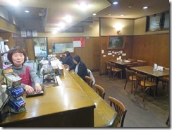
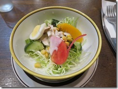
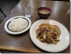
I wandered out to see if I could find somewhere selling removable storage, but the reception staff could only suggest I try convenience stores, and they do have USB keys, but only up to 16 GB. So I bought four of them. Then I went to find some dinner – sadly, most places around here seem to be either izakayas or snack bars (which are basically budget versions of hostess bars, run by women, often with karaoke machines). There’s not even a McDonalds or a Mos Burger or anything. Eventually found a little eatery named Ninjin (= Carrot) with a counter and a few tables – I thought of sitting at the counter, but I’d probably be expected to make conversation, and all my Japanese knowledge escapes me when I try to do that. I had Japanese-style hamburg, with soup, salad and rice.
Unfortunately no time to get caught up on blogging, but I at least I got a post done so I didn’t fall further behind.
Today’s photo count: Five hundred and ninety-eight
Today’s pedometer count: 16,083 steps – 11.1 kilometres – 12 flights of stairs
Today’s stamp count: Just one – a Pokémon With You train commemorative stamp.

