Japan uses the abbreviation “ATM” for ATMs, same as English – pronounced “eh tii emu” – despite not using the full term “automatic teller machine” at all. They also use the English words “cash point” too. Near as I can tell, while there is a Japanese term for the things, it’s not in particularly common usage.
The town of Nikko, in Tochigi Prefecture, was built up around Rinno-ji, which was established in the year 766, and then Chuzen-ji in 784 – Tosho-gu didn’t arrive until 1617 – and it’s long been a popular destination for visitors from Edo, and later the rest of the world. Like I mentioned yesterday, if tourists in Tokyo take a day trip out of the city, for the most part it’ll either be to Nikko or Hakone (which is near the foot of Mount Fuji). And this place certainly had the foreigners to show for it. In 2006, Nikko was merged with the much larger city of Imaichi, but since Nikko was more famous, the new larger city was named Nikko, and Imaichi City Hall became Nikko City Hall (which has the slightly annoying effect that if you ask Google Maps where Nikko is, it’ll plonk the marker about ten kilometres away from what you’re actually thinking).
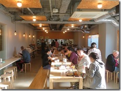
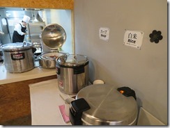
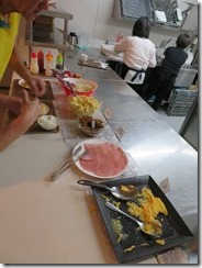
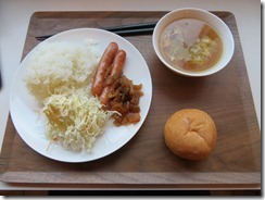
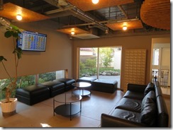
Right up until the moment I checked in to this hotel, I was unable to determine whether or not it offered breakfast. If it didn’t, it’d be the first hotel I’d stayed at in Japan that did not. Fortunately, I was informed while checking in that it does. So this morning, I headed down to the breakfast room for breakfast as early as I could (instead of having to head out to the nearest convenience store). Similar sort of foods – including curry, again – but with French onion soup instead of miso. Many foreigners in the room with me.
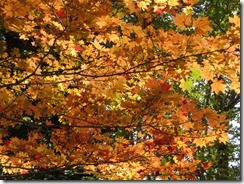
Today I had a big day planned, heading up into the mountains of Okunikko – Inner Nikko – so I wanted to get the earliest bus I could manage so I’d have the most time. With the issues buying a ticket yesterday (and the festival at Toshogu), I almost swapped my plans for today and tomorrow, but as I’m leaving Nikko tomorrow, that’d leave me with a long day of sightseeing followed by travel, and I wasn’t sure I wanted to do that. Also, in one of those nice coincidences, my visit to Nikko happens to be right at the time the Okunikko area saw peak autumn colours for the last two years – and my October visit was supposed to be for autumn leaves – except… according to the Japan Guide autumn leaf blog, unusually warm weather has delayed the start of autumn leaves this year, so while it’s beginning to turn now, it’s not quite at peak yet. So I also pondered swapping today and tomorrow to give them another day to change, buuut… see previous justification for not swapping.
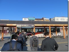
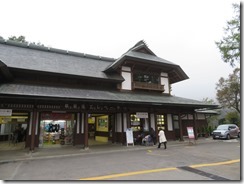
So I decided to just head for the station early and hope the office opened before the posted time.
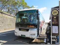
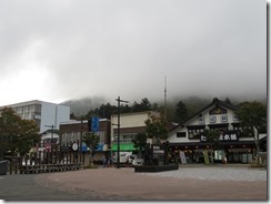
It didn’t. So I ambled over to the ATM to get some money out so that I could afford to pay for the buses, then ambled back over… suddenly noticing, with mere minutes to spare before my bus arrived, that the ticket office had machines which sold the two-day free passes. So I hastily stuffed money into the machine, grabbed my ticket, and scuttled over to the stop, just in time… to join the line for the bus.
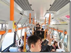
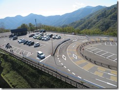
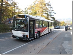
Hopped on when it came a couple of minutes later – but so full I had to stand the whole way – and off we went, up through the town of Nikko. At the top of the town, the bus started climbing into the mountains, up the quite famous Irohazaka Road – almost guaranteed you’ve seen pictures of this before in lists of “amazing travel pictures” or something. It’s a road with a long series of switchbacks – the uphill and downhill roads are separate, and between the two roads, there’s precisely forty-eight corners, which is also the same number of characters in the hiragana syllabary, and the poem Iroha has every hiragana character precisely once each, hence the name. The “-zaka” means “hill”, so an equivalent English name might be Quick Brown Fox Hill, though as Iroha is also used as an alternate “alphabetical” order for hiragana, ABC Hill probably works just as well. Each corner is numbered, and named with the corresponding hiragana character from the Iroha poem.
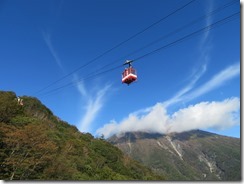
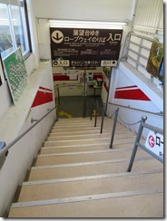
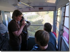
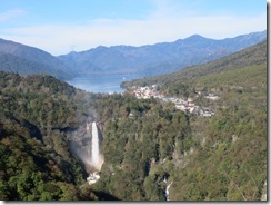
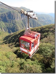
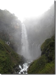
At the top of the road was my first stop: Akechidaira, a mountaintop plateau accessed by a ropeway from the bus stop, which gave a great view over the surrounding countryside – including the Kegon Falls, regarded as one of Japan’s three greatest waterfalls, along with Nachi in Wakayama (visited in 2017) and Nunobiki in Kobe (visited in 2018)… depending on who you ask. I actually wasn’t expecting the ropeway to open until 9, and my bus arrived at 8:35 – since the next bus wouldn’t arrive until ten past nine, though, arriving at 8:35 and queuing for the first ropeway trip would maximise my time… except it was open when I arrived, so I was able to go straight up. Along with a full load of people.
I figured I could stay up there twenty minutes, and come down in time for the next bus, so I did – coming down with just one other person, so much more breathing room – but a family from Europe who had also been up there with me came down on the next ropeway trip, and still made it in time for the bus, so I guess I could have stayed longer.
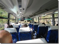
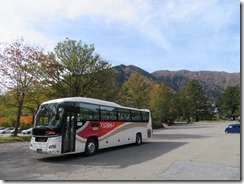
Back on the bus – a much more comfortable coach-like bus, which was also much less crowded, so I got a seat – I headed right to the end of the line, Yumoto Onsen (the European family got off en route). (Weird thing – the bus stops on the way in the nearby town of Kotoku Onsen, except it stops only in the main driveway of the Nikko Astraea Hotel, and nowhere else in town – I wonder how the hotel managed to wrangle that.)
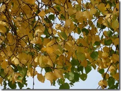
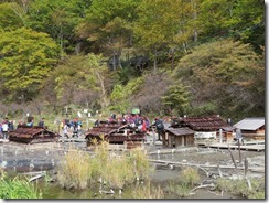
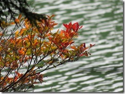
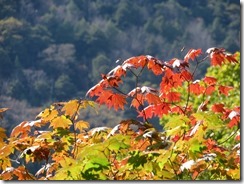
Yumoto Onsen is a town deep in the mountains, where hot water springs up out of the ground, like in the middle of a marsh. It’s very deep in the mountains – according to a sign outside Tobu-Nikko Station, the main town is at an altitude of 543 metres above sea level, and though I didn’t see a sign at Yumoto, according to my phone compass app, I was at an altitude of 1490 metres. As previously mentioned, I’d hoped to stay here – partly because it’d be in the middle of prime autumn colours, but yeah, there was no availability for me. And it’s not prime autumn colours. I was commenting yesterday how everything was nice and green – now I’m lamenting that it’s too green.
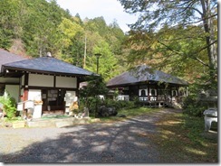
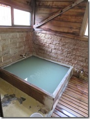
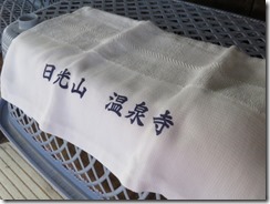
First, I went to see Onsen-ji. It’s a temple, in case it’s not clear from the name. A temple with an onsen, so after seeing the temple, of course I had a bath there. Had to buy a towel from the temple because I didn’t have the foresight to bring my own. It was only a little square bath, with maybe enough room for four, but I was fortunate enough to have it on my own for most of my visit. They suggest you stay at most half an hour to (a) let more people have a go, and (b) avoid getting hydrogen sulfide poisoning, but with no clock up, I had to guess. The water actually comes out at about 62-74°C, so there’s a cold tap so you can cool it down, but I didn’t want to overuse it in case I made it colder than others would have liked.
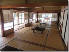
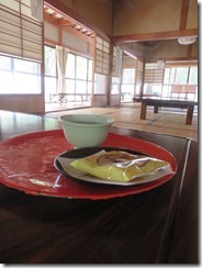
After the bath, I was shown to a tatami mat room and given a cup of tea and a senbei, so I spend some time relaxing and sipping. I bought a goshuin from the little old lady running the place – on paper, because there’s just the little old lady, no priest, and it’s somewhat larger than my shuincho, so it’s gonna need trimming too.
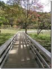
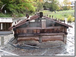
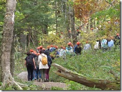
Then I went to see the hot spring marshlands, and in the process ran into a whole group of who I’m pretty sure were elementary school kids, from the matching coloured hats but lack of uniforms otherwise. Every now and then, one would say “hello” to me, and I’d say “hello” back, and then I said “konnichiwa” and got a whole chorus of “konnichiwa” back. One asked me if I was American – he was strangely impressed that I was actually Australian.
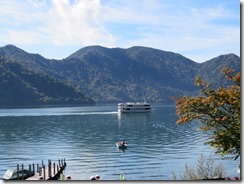
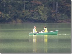
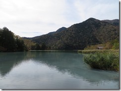
I left them behind to start my next activity: hiking. Yumoto Onsen is on the shore of Yunoko (“hot water lake”) which flows over the Yudaki (“hot water falls”) and into the Yugawa (“hot water river”), except… none of it is hot. Oh sure, there’s part of Yunoko where the hot water from the springs flows into the lake, so the water’s slightly warmer – enough that it’s the only part of the lake that doesn’t freeze in winter – but yeah, the rest of it is just regular water. Point is, I was going on a hike around the lake, down the waterfall, and along the river.
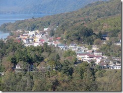
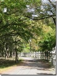
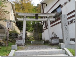
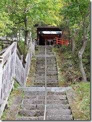
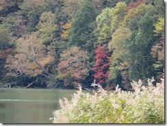
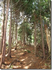
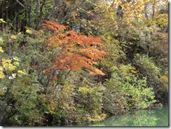
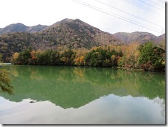
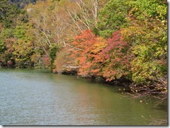
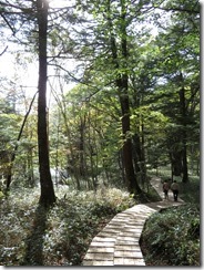
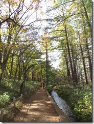
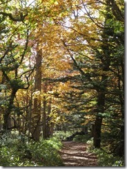
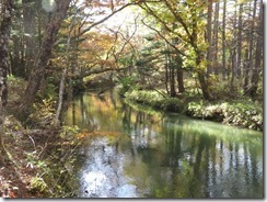
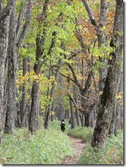
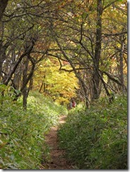
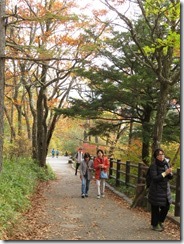
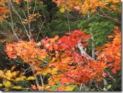
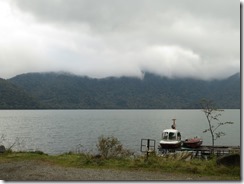
But first, on my way out of town, I stopped by Onsen Shrine. It was quite a cute little shrine, though with no onsen. No goshuin either, but according to a sign, it’s actually available from Futarasan Shrine, where I was yesterday. But yeah, then I went off on my stroll. And a nice stroll it was, through the alpine forest, with occasional yellow and red trees here and there, and a lovely view out over the lake. A lot of it was also along the roadway, which was not awesome, but it was still pretty. Munched on the chips I got from the supermarket yesterday as I walked.
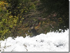
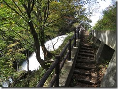
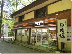
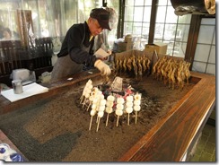
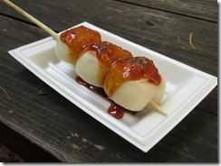
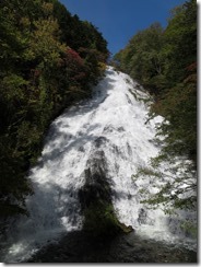
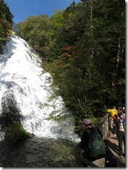
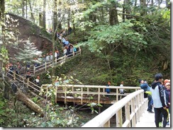
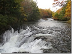
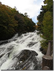
Then I arrived at the Yudaki, and they were seriously impressive. I arrived at the top, naturally, and walked down the stairs leading to the bottom – and at the bottom, there was a viewing platform right in front of the falls, giving a spectacular view of them. And also a convenience store (playing Queen over the speakers, for some reason), and a restaurant, and a guy roasting ayu and dango over charcoal. I bought some Calorie Mate (it was the main reason I went to the supermarket yesterday, but couldn’t find it) and a drink, then got some dango – with a yuzu and miso sauce. At which point, the kids caught up. A different group of kids – I could tell, because they had different-coloured hats – but clearly related (I’d seen several different hats in Yumoto).
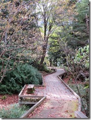
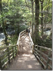
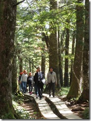
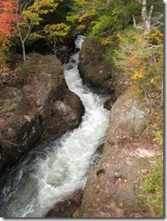
After my little rest, I continued on my walk – I was going to walk across the Senjogahara Plateau all the way to Ryuzu Falls. The first part of the walk was through the forest below, mostly along a boardwalk, over and across the river, and it was most pretty. But, when I reached the turnoff to start across the plateau, I discovered a sign saying the path was closed due to a landslide. *Shakes fist* Hagibiiiis! I mean, I don’t regret the walk, but it would have been nice to know beforehand.
Instead, I completed the loop path I was on, and headed back up the road to catch the bus, waiting with a pair of ladies. Waved at all the kids as they left on their bus, then hopped on mine. I hopped off again at the Akanuma stop (the name means “red marsh”) – it’s at the bottom end of the Senjogahara Plateau, and I’d hoped to get onto the plateau from that end, but… nope. A little bit sad, I decided to continue my intended walk – it was only a half hour’s walk from there to the Ryuzu Falls, where I’d originally intended to wind up.
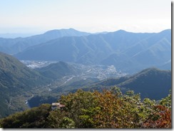
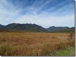
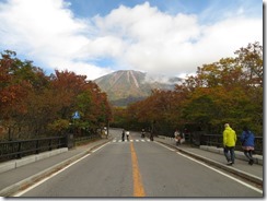
(Researching now, if I’d really wanted to see the Senjogahara Plateau, I should have gotten off at the Sanbonmatsu (“Three Pines”) stop, because there’s a lookout platform, but I wouldn’t have been able to continue walking from there – I’d’ve had to continue by bus. I did manage to get this photo of the plateau from the bus on the way to Yumoto, though.)
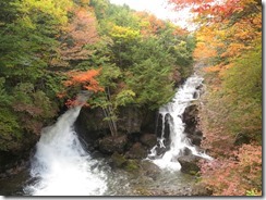
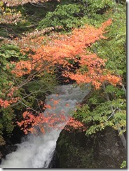
It was a nice walk to the Ryuzu Falls, too, and a nice walk down them. The name means “Dragon’s Head”, though I’m not completely sure why. There was a souvenir shop and eatery built across the bottom of the falls, which gave a pretty nice view, but I honestly thought the Yudaki was more impressive.
By this point, it was getting on towards 3pm, so I decided to head straight for my next (and final) planned stop, and have something for… uh… linner later on. Dunch? Lunch-dinner, either way. At the bus stop, I encountered the same two ladies I’d come across back at Yudaki. From the bus, I saw a pair of monkeys crossing the road.
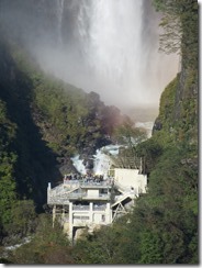
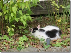
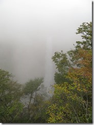
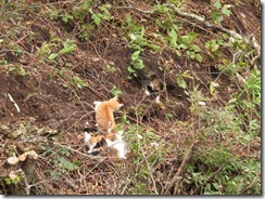
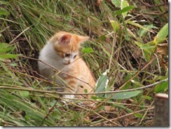
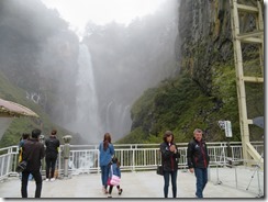
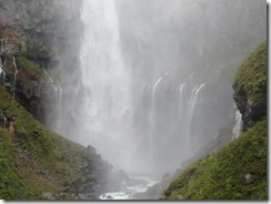
The final planned stop: seeing the Kegon Falls up close. There’s a viewing platform right in front, and also a second one near the base – you take an elevator to get there, though it costs money. I’d hoped to see the falls in sunlight, but with clouds rolling in, I’d feared it was already too late – but when I got there, I discovered it was even worse, as the falls were almost completely obscured in mist. Though, there was a litter of kittens playing on the hillside behind the platform that were fun to watch. Clearly strays, mind.
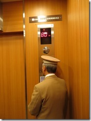
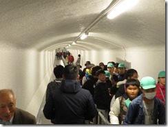
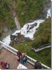
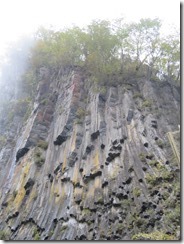
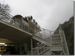
I considered not heading down to the lower platform, but TV screen at the elevator station – and it really looked like a station – showed the view from the bottom was comparatively clear, so I went down after all. The elevator goes a hundred metres straight down. The view was quite spectacular. No cats, though. But lots of people in matching New Zealand All Blacks jackets. And soon the colour-hat kids started turning up, so I decided it was time to surface again. (Looking at my photos now, I noticed that there were other colour-hat kids on the lower platform back when I was up on Akechidaira.)
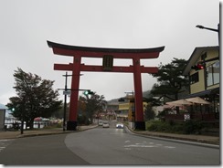
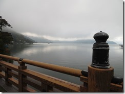
At the top, I wandered back into Chuzen-ji town to look for some linner. I pondered visiting the Chuzen-ji temple itself, but all the reviews of it I’ve seen basically said “meh”, so I passed. However, the town of Chuzen-ji appears to be similar to the town of Nikko in that it’s basically dead already by early evening. There was nowhere open to eat, at all. That I could find, at least.
Instead, I decided to catch the bus back down the Irohazaka while it was still at least a little bit light – I was able to get a seat this time, so I could actually admire the view. Dim as it was that close to sunset.
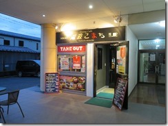
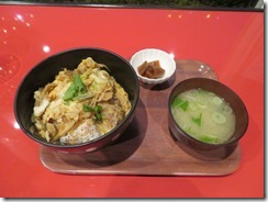
Back in town, I decided to eat dinner at the yuba-crazy place I’d considered last night – I got yuba katsudon, which is basically katsudon with a breaded and deep-fried patty of tight-rolled yuba in place of the meat. It was very tasty, though the flavour of the sauce was a little weak.
Headed back for the hotel afterwards. Brought my umbrella today so that I could displace my raincoat from my backpack in favour of my puffy jacket, but I wound up not needing it at all. Or the puffy jacket. Or the waterproof pants I’d also brought. Or, really, the thermals I was wearing – I’d even decided not to put on the bottom half again after my bath. Speaking of the bath, though, I can still smell the sulfur on my hands now, although I’d washed them several times over the course of the day, and even used hand sanitiser. Guess that means the medicinal effects are working?
Today’s photo count: eight hundred and thirty-eight
Today’s step count: 18,060 steps – 13.5 kilometres – 32 flights of stairs
Today’s goshuin count: Just Onsen-ji
Today’s stamp count: One, the Akechidaira Ropeway
(One quick note, speaking in not-pretending-I’ve-written-this-on-the-day-of mode, now: tomorrow’s (by which I mean, Saturday’s) plans may last late into the night, so it’s fairly likely that I’m about to fall even further behind on my posting…)

